Contributed by Jeanie Pai, Jo-Ann Wong, Zulay Chang.
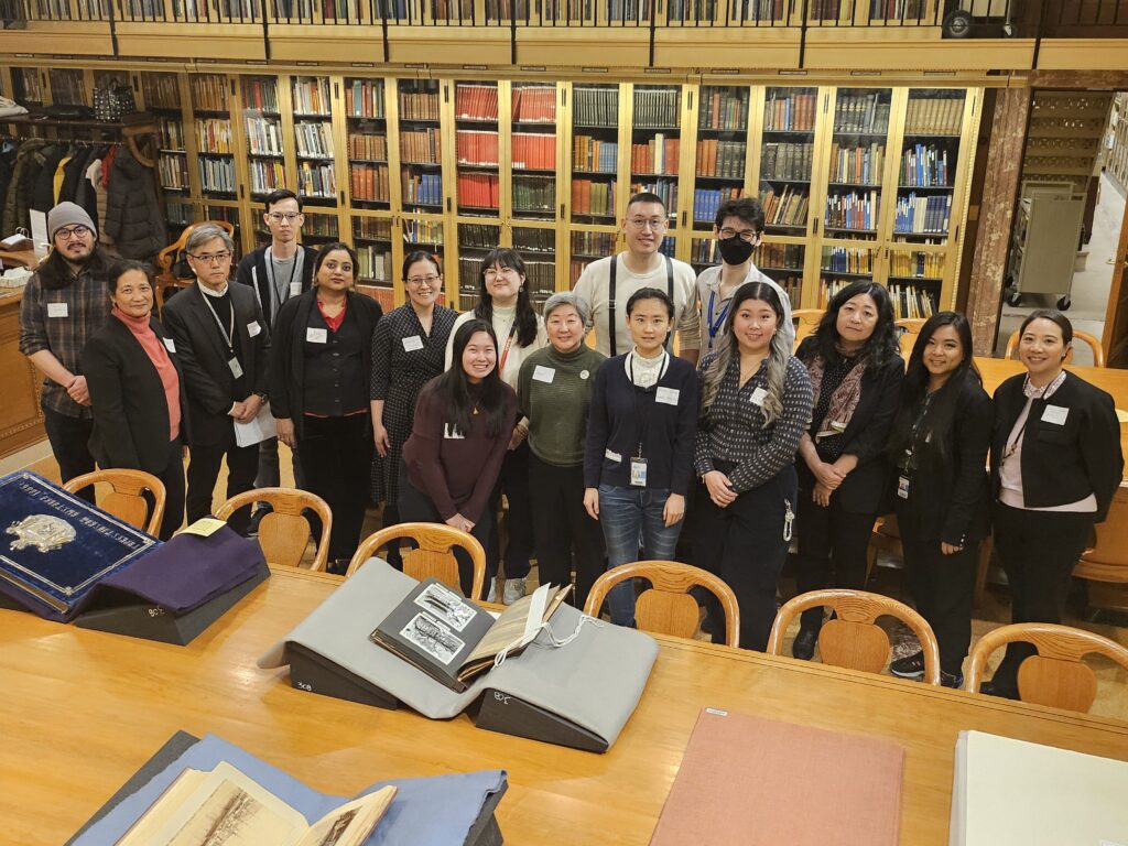
On a chilly day in January, members of APALA Northeast Chapter gathered at The New York Public Library’s (NYPL) Stephen A. Schwarzman Building, located at 42nd Street and Fifth Avenue, to attend two special collection presentations and an underground storage tour hosted by NYPL staff. The showcase featured items from the Photography Collection and the Print Collection in the Miriam and Ira D. Wallach Division of Art, Prints and Photographs, the General Research Division, and the Lionel Pincus and Princess Firyal Map Division. APALA welcomed members of NYPL’s Asian American, Native Hawaiian and Pacific Islander (AANHPI) employee resource group to join the event as guests and colleagues.
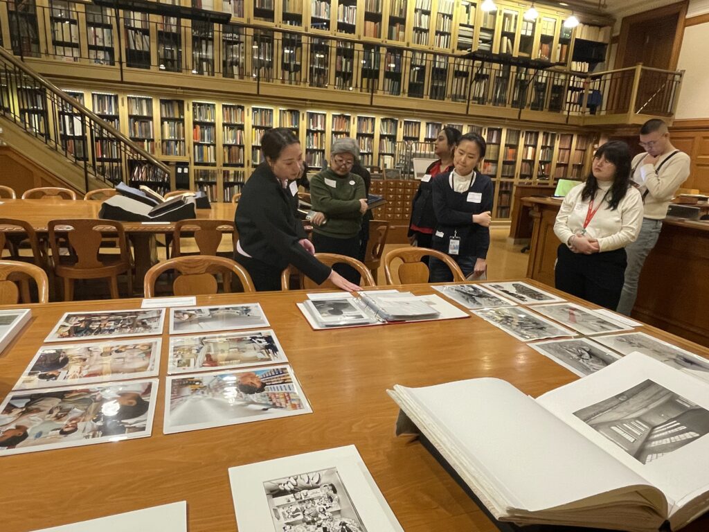
The morning consisted of a presentation in the Prints and Photographs Study Room, during which members had the opportunity to view visual materials up close. Zulay Chang, Specialist in the Photography Collection, explained that many of the materials displayed were considered to be part of the Asian American diaspora. The works provide some great examples of Asian American artists found in the Collection, including Thomas Holton’s The Lams of Ludlow Street, 2003-2005, a multi-year project chronicling members of the Lam family who lived in the Lower East Side of Manhattan, and Madoka Takagi’s Ellis Island (1987-1988) in two albums that contain beautifully printed platinum/palladium photographs. Hanako Murata, Senior Photograph Conservator, provided contextual insight from a conservation perspective and assisted in handling the most fragile special collections items.
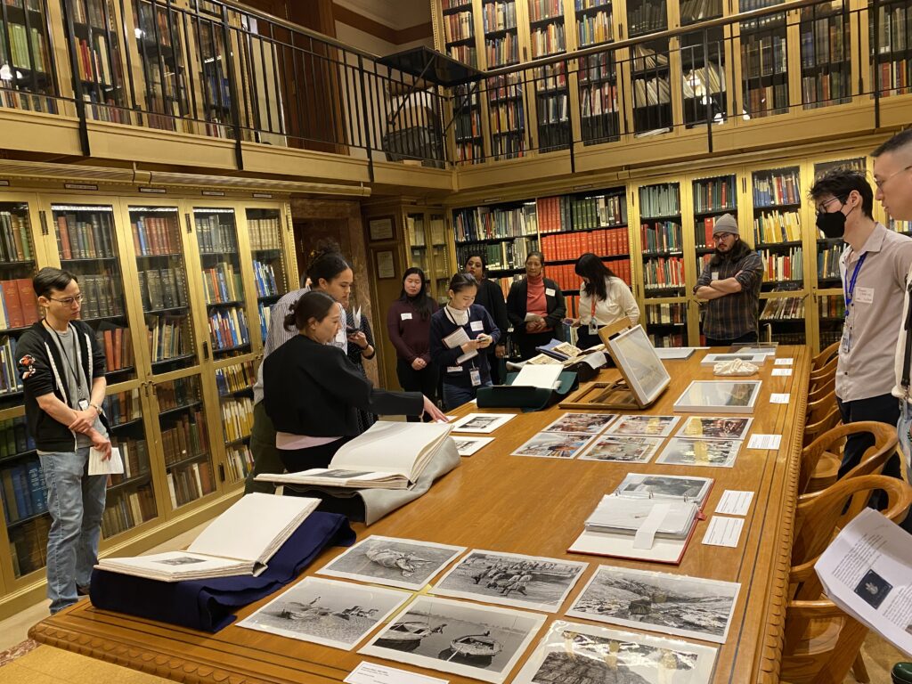
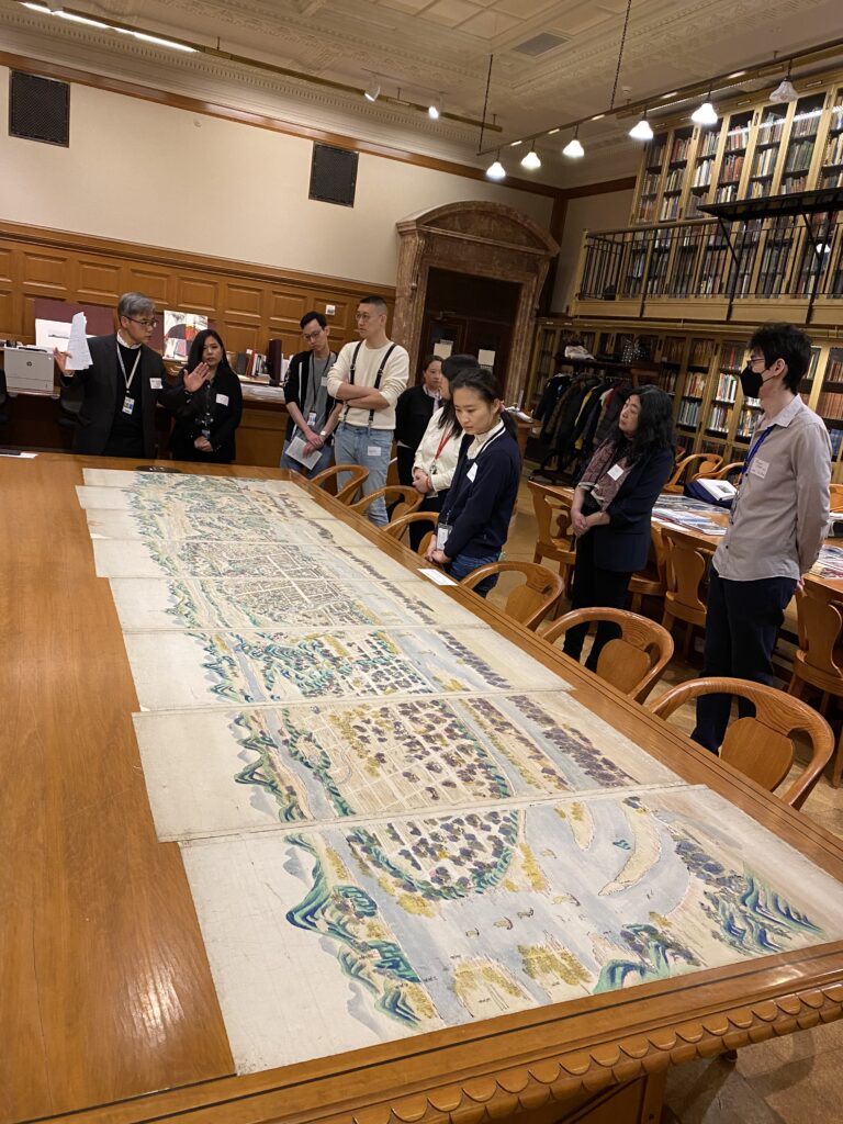
The second table featured an array of materials, starting with an impressive eight-panel polyptych of Bird’s Eye View of the City of Pyongyang (Heijo) [평양조감도], 1570-1670 by an unknown artist from the Print Collection. Hee-Gwone Yoo, a Librarian in the General Research Division, shared how the eight-panel print was originally part of a folding screen to shield the deceased from mourners. The print depicts swaths of the city of Pyongyang in current-day North Korea from a bird’s eye view, portraying mountain terrains, ships, various islands, and temples that no longer exist. Other materials included albums of Central Asia and former Korean palaces.
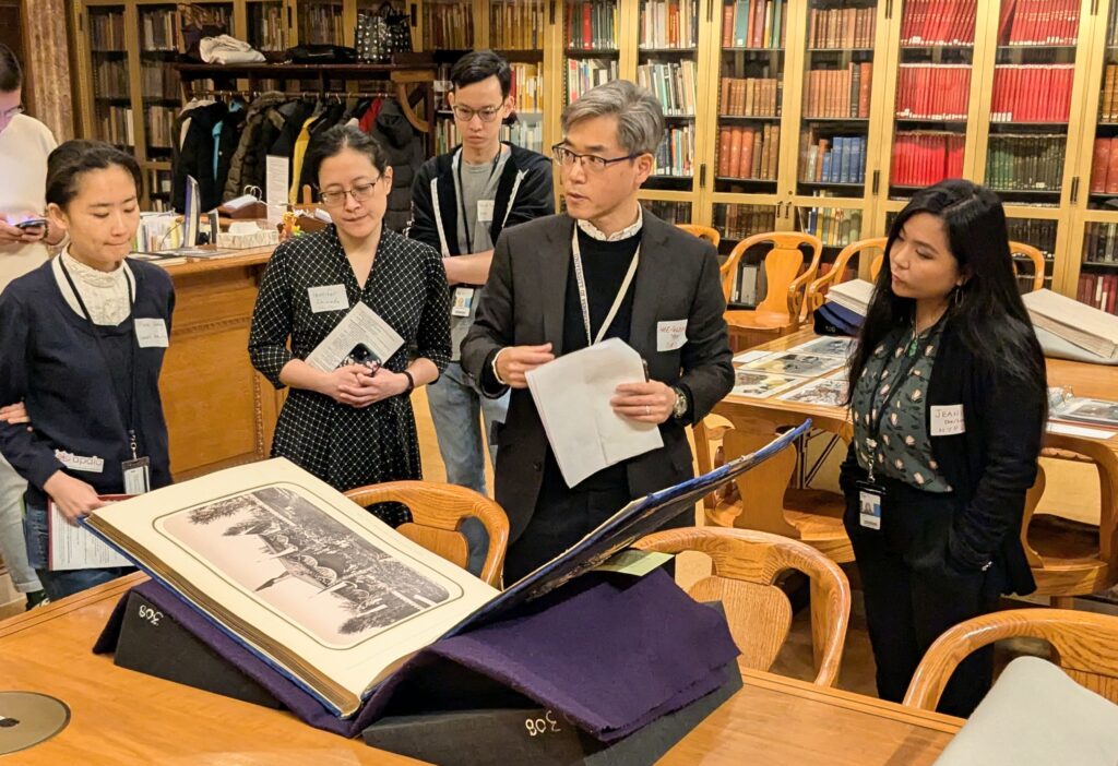
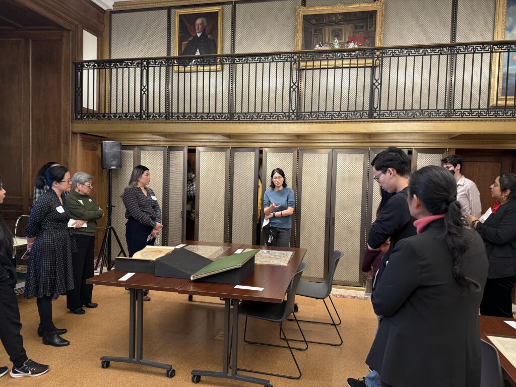
After lunch, members returned to the Schwarzman Building to visit the Vartan Gregorian Center for Research in the Humanities and viewed cartographic research materials that included representations of Asia, the Pacific Islands, and Native Hawaiian communities. The presentation was led by Jo-Ann Wong, Librarian in the Lionel Pincus and Princess Firyal Map Division.
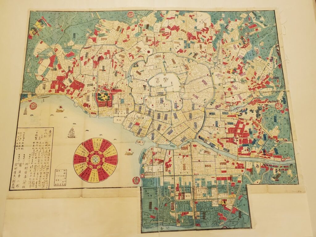
During this session, Jo-Ann included examples that exemplified how the message of a map is deeply rooted in a creator’s purpose and perspective of the region. For instance, Insulae Moluccae celeberrimae sunt ob maximam aromatum copiam quam per totum terrarum orbem mittunt… uses illustrations in the bottom margin to depict the Moluccas – a set of Indonesian Islands – as a rich place for resources. This map was created by Dutch explorers who exploited the region and its resources; ultimately causing tremendous harm to its inhabitants. In contrast, maps by native people represented their homelands more accurately and respectfully, such as, 永福東京御繪圖 : 東京繪圖 (Fig.5), a map of Tokyo created during the Meiji Era. The map is beautifully printed via woodblocks, which is traditionally considered more of an Eastern style in mapmaking.
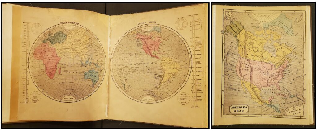
Jo-Ann also shared 1858’s [World atlas in Hawaiian language] (Fig.6). While presumably printed in the United States, the atlas is in the Hawaiian language and depicts both the Hawaiian Islands and the rest of the world. As the islands were targeted by imperialistic agendas, the atlas became an opportunity to center the native language and strengthen the Hawaiian identity geographically against colonialist nations.
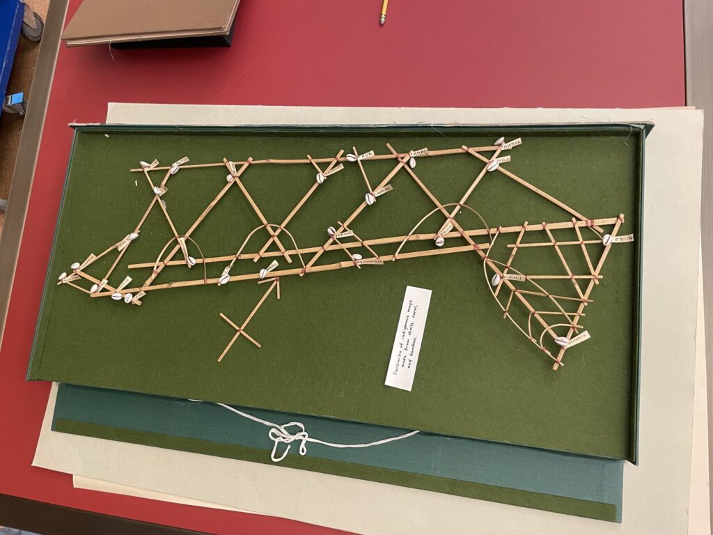
Another notable item was the Two Marshall Islands stick charts. (Fig.7). The Marshall Islands are located in the Central Pacific Islands, and the maps operate by having the reeds represent ocean currents and sea swells while the shells indicate islands. This is not an original stick chart, but a facsimile.
Lastly, Jo-Ann presented materials from the General Research Division, with many items representing the immigrant experience in the United States. Examples included a 1939 guidebook of Manhattan’s Chinatown – showcasing changing sentiment to Chinese immigrants in the United States – and newspapers that were produced in the Japanese internment camps during World War II.
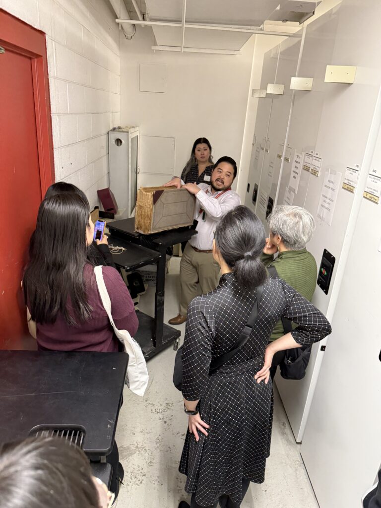
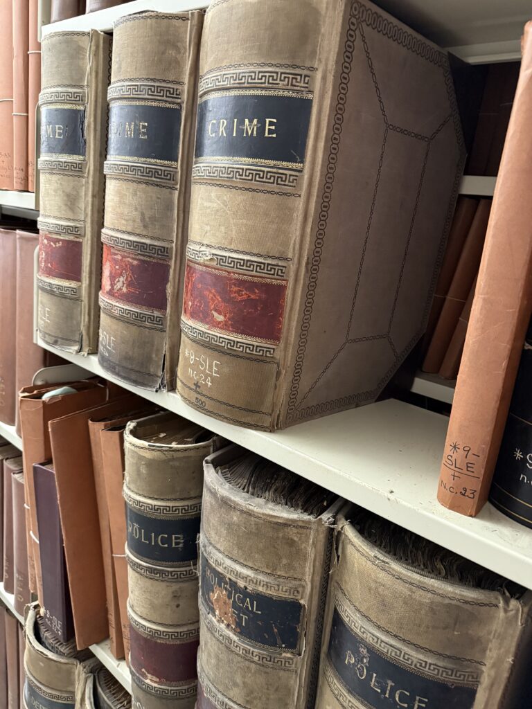
The group made their final stop in the Milstein Research Stacks located underneath Bryant Park. Guided by Philip Mui, Research Materials Data Manager of Access Services, they toured through two levels of subterranean collections storage that can hold more than 4 million books and archival materials. Attendees learned how items from the General Research Division are organized, preserved, and delivered to the reading rooms using book trains on an electric conveyor system. Philip pointed out the library’s storage history, movable shelving system, and climate-controlled environment. One of the highlights of the tour was when Philip presented newspaper scrapbooks under the titles, “Crime,” “Gambling,”“Police, and “Miscellaneous” from the early 1920s. It was interesting to think about why these were created and for whom.
After a full day of events, the group parted and wished each other Happy New Year. The day felt timely in the season of the new moon, especially as attendees plan to reunite the following month to march in the Lunar New Year Parade in Chinatown, Manhattan. The APALA Northeast visit was organized by NYPL staff, Zulay Chang, Cecelia Fiering, Jeanie Pai, and Jo-Ann Wong, with assistance from Philip Mui, Hanako Murata, and Hee-Gwone Yoo.